Le Risaie Del Nord v1.0.0.1 FS19


Le Risaie Del Nord v1.0.0.1 FS19
Changelog 1.0.0.1
Fixed various bugs. Removed chickpeas. Increased capacity of the silos. Improved terrain in some fields.
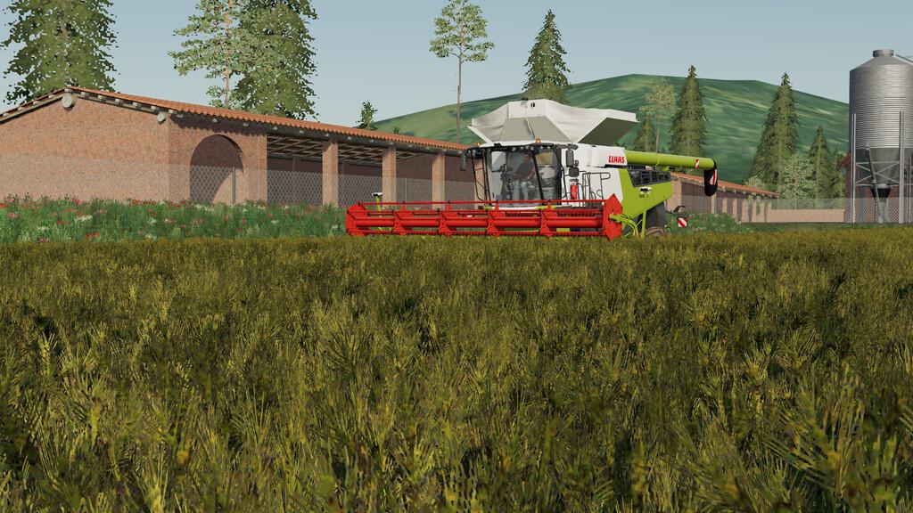
In this area of Italy you can find ponds and large fields of rice, being the area purely known for its large rice production.
This map is inspired by an area of the pianura padana, between the PO river and the Sesia river from which many farmers draw to flood their rice fields (called risaie).
There are some areas mainly used for forestry activity.
The choice of using an area as a paddy field or for forestry varies in relation to the climatic characteristics of the moment and the presence of irrigated resources.
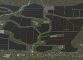
The map consists of 55 fields, 38 of which are floodable for rice cultivation.
There are waterways with relative locks to regulate the flooding of the fields.
The size of the fields varies from a minimum of 1.23 hectares to a maximum of 7.23 hectares.
It is possible to produce corn mash to feed pigs or for the sale of the same using the special forage harvester (necessary pack forage harvester).
In addition to the classic crops, excluding sugar cane, there are: sorghum, protein pea, alfalfa, rice.
3 different bunker silo are available as positionable in the classic version, for the production of compost and for the production of corn mash.
To produce the corn mash, the corn must be harvested with a special forage harvesters, deposited in a special trench (available among the placeable), compacted and covered, just like silage.
BlackEyesModding


Hi my name is Jacob Baker & I downloaded seasons geo for the farm & it don’t work but it is for it do u know why